Mapped out
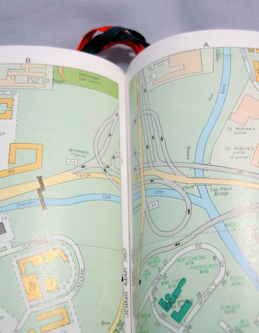
So the thing is that, for someone who has:
(1) ended up in Punggol while on her way from Bukit Timah to Changi
(2) ended up in Tuas while on her way from Jurong to Bukit Timah
(3) ended up in Hougang while on her way from Punggol to Bukit Timah
... among
posted by Laughingcow at 10:00 am
![]()
![]()


4 Comments:
sista: use this instead! http://www.streetdirectory.com.sg/
hahaha..wrong turns aside, don't you retrace your steps / stop by the side of the road once you realise you're in alien territory? Bukit Timah and Hougang seem so very far apart.:)
Woof!: OH MAN! When did this exist?! I am mindblowingly impressed! The route is so detailed too! Except that there are a total of 16 (that's S-I-X-T-E-E-E-E-E-N) steps to get to my destination and... how do I read a map when I'm driving?!
BoY: Yes, I realised I was in "alien territory" when I was in Hougang, and then I stopped by the road to call some friends for help. But the place is impossible to navigate! There are ZERO landmarks, and apparently more than one S-11! (Thanks for the HAHAHA, it helped tremendously!)
well, isn't there a "how to get from A to B" function? I usually copy down all the exits and turns on a post-it, and stick it on my dashboard over the rev-meter.. ta-dah!
Post a Comment
<< Home